 |
| A rock hill near horseshoe bend (May 2015) |
I did the
Grand Circle Tour covering mainly Utah and Arizona last summer. The area of natural parks in Southwest US is
vast and immense that even a month-long trip will not be enough to cover most
popular sites.
With a
time constraint, my small team hopped from one site to the next, trying to take
in everything that we were seeing and experiencing! It was tiring at times, but yes – it’s all
worth it!! And typical of any great
place to go to – we ended up feeling ‘bitin’ (wanting for more).
Tour
medium: mostly by tour van (and side trips by hiking, 4x4 jeep or optional cruise in
the lake). Best travel if time/money
allowed would be a drive-your-own, the key challenge is finding the right accommodation
in the right place (they could be far away from the sites), and driving 150-250mi
a day.
Picture-tour
below:
 |
| Horseshoe bend. Tourists at the edge of the cliff, I heard people had fallen to their deaths - so this is one place where 'death by selfie' is quite possible. Enjoy the view but mind the cliff. |
 |
| Horseshoe bend is an easy place to go to (free of charge), and comfortably "on the way" to other popular sites |
 |
| Gopro "emo shot" at the edge. (hard to fit with normal lens). And now you see why it's called HORSESHOE bend! Awesome! |
 |
| To get there, one needs to walk 15-20mins... only! for a really beautiful scenery. |
 |
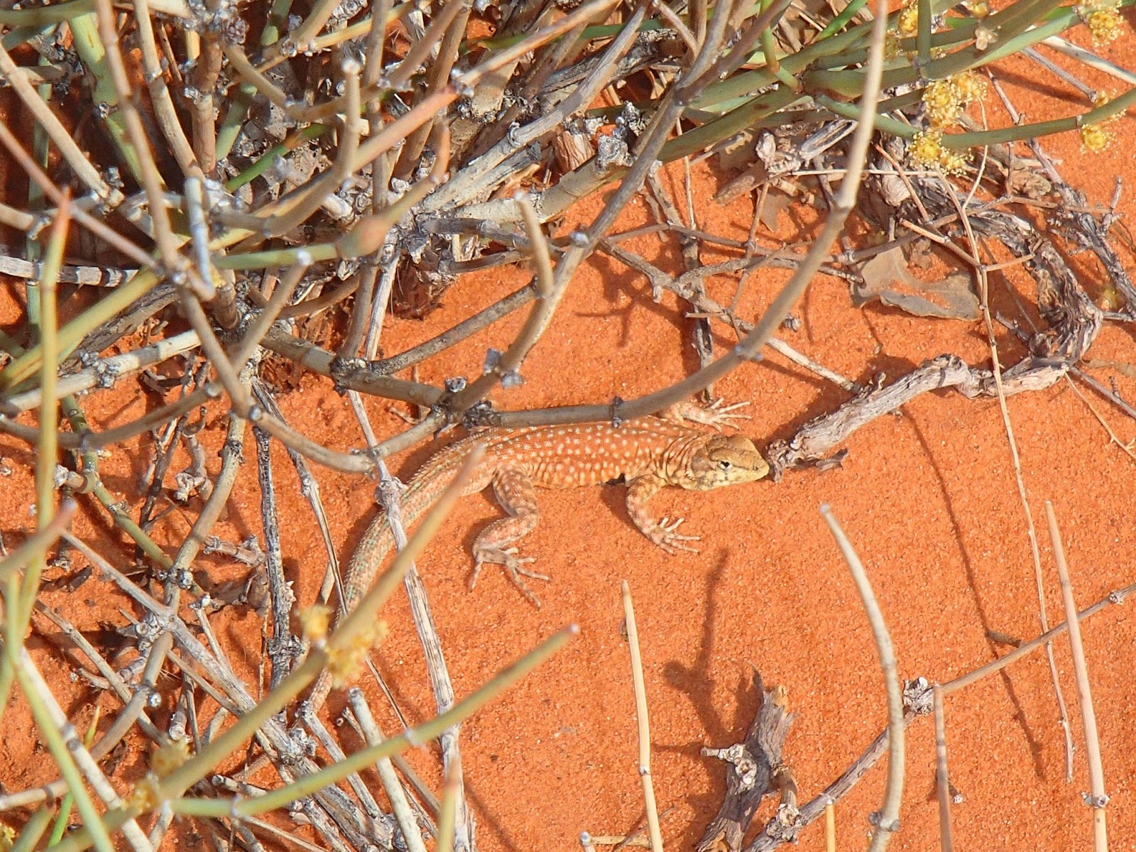
| Lizard trying to use its camo - not working much my little friend |
 |
| Gopro view of Chelly canyon. You'll need a wide lens to capture this. I see this as 'minor' canyon compared to others, but amazing to see a natural outcropping of rock pole at the center. Plus the remnant of an indigenous community that left their mark here (below). |
 |
| Zooming the view from the top, you'd see an old settlement of Indians that lived here hundreds of years ago. I can imagine that the canyon must have been a very good hiding place, plus there's a good water source (river) and soil good enough for edible plants. |
|
|
| |
 |
| Monument valley (Arizona side), a park managed by Navajo Indians. Here, tourists trying to get their 'solo shots' at the edge of a cliff. |
 |
| I picked another 'edge location' behind them to avoid the crowd he he. what's with the edge anyway.... |
 |
| Its a desert but there are plants here... Indians used to live by a huge number around here... (the war of US expansion wiped out most of the southwest tribes) |
 |
| More intriguing flora around the valley.. Indians have various use of unique plants here either as food or for medicinal purpose.. |
 |
| Totem pole, was a bit distant but a little zoom captured its unique form... The valley is vast and one needs an off-road vehicle to go around the sites. |
 |
| Come to where the flavor is, come to the Monument Valley. Yes that commercial was shot here, and other famous western movies (like that of John Wayne's). I can't stop being amazed on nature's great sculpting prowess. |
 |
| Antelope Canyon - upward view... shaped by nature! |
 |
| Just like the famous rocks in Utah, nature creates and nature will eventually destroy this. So see it now! :) Antelope canyon as seen from the interior. the 'controlled natural lighting' giving a unique hue. Spectacular! |
 |
| Nope, climbing is not allowed, even flash photography! just feel, see and enjoy it. A sort of extended 4x4 is needed to reach this point, the extra fee is worth it). |
 |
| Glenn Dam near Lake Powell (at Page Arizona). |
 |
| I only captured lizards in my fauna shot list. |
 |
| Lake Powell. I skipped the 40$-cruise and just relaxed 'by the beach'... |
 |
| Petrified Forest area. It was in fact a (dead) forest with 'wood-rocks' spanning a big area. A 200million year process to 'convert' timber to rock, particle by particle. |
 |
| Ouch! It's really a rock! there's no organic substance left, it looks like a piece of wood - but it's a solid rock. |
 |
| A polished version exhibited in the Park's museum. One of nature's wonder here... "kakaiba" |
 |
| Scattered pieces of rock-timber in the park. These rocks were photographed in the early 1900s, and new photos suggested that timber-rocks were intact to this day - that means good conservation (or the rocks were just massively heavy to be lifted out). I did visit some stores selling petrified wood, presumably from outside the park's boundary. (and no, I didn't buy). |
 |
| A snapshot of a distant rainbow, from a speeding van. |
 |
| The view from the southern rim was nice, but the mountains looked far (they are). I heard the the view from the northern rim may be better. |
 |
| "Me see mountains, me likes view. Me feels cold, so me wears malong; Now me misses home, me time to go back home..." |


1 comment:
Thanks for sharing!... Been there but not from your perspective! Had fun looking at your pictures, Romi....goodluck and share more. Been a fan of yours since your Mt Everest climb! Proud of you kabayan!
Post a Comment